-
Categories
| Yield properties | Land plots |
| Land area | 52.000 m² |
| Quality | First occupancy |
| VAT | plus |
Description
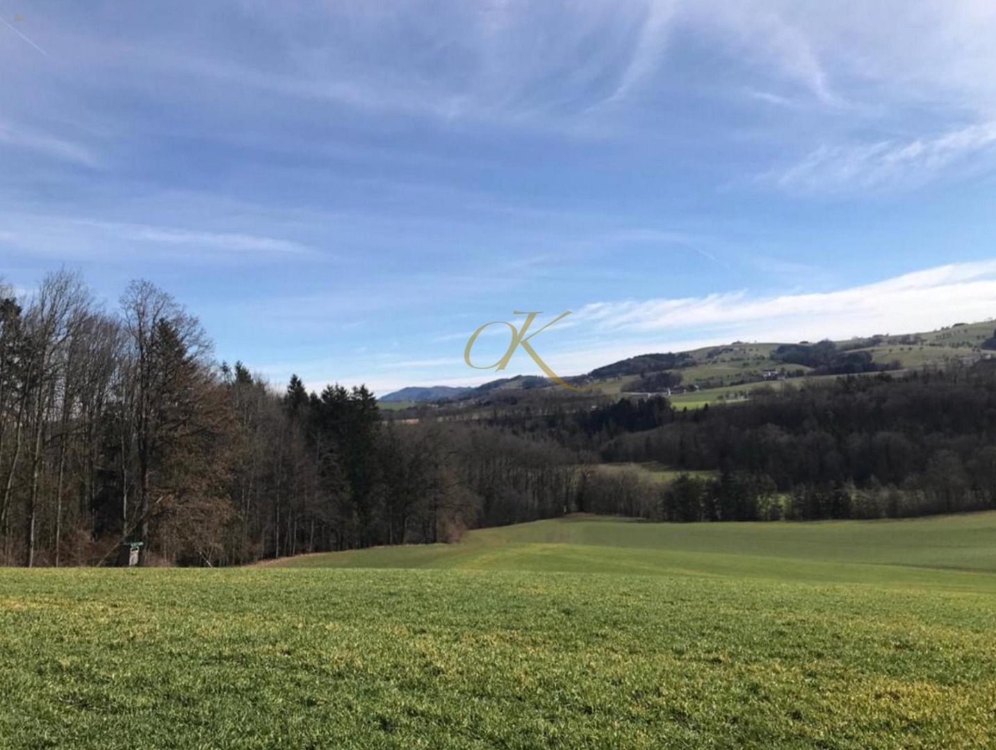
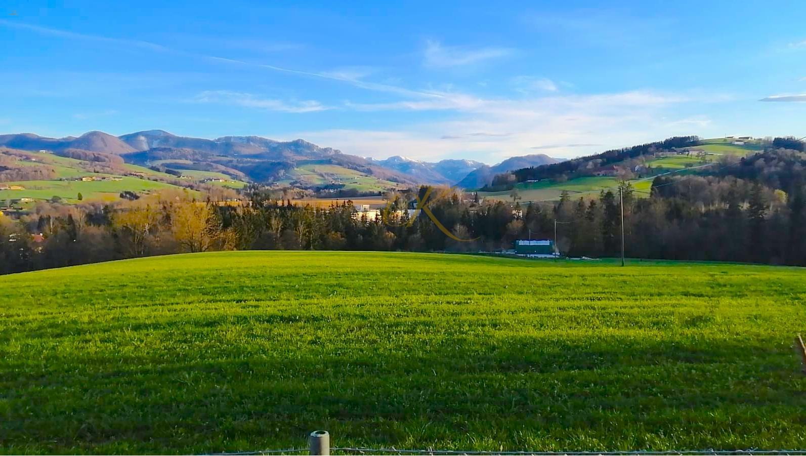
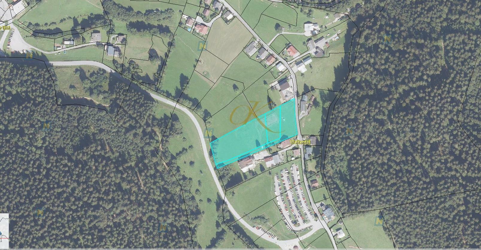
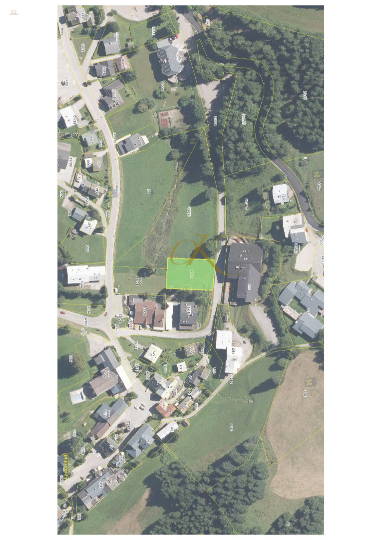
The agricultural land with gravel deposits in Waldneukirchen is offered for sale.
This land is located in the Steyr-Land district and includes the following plots: 488, 490, 493, 494, 495, 504, 505/1, 505/2, 510/3, 510/4, 510/5, 510/11, and 513. The total area is 52,000 m².
Location:
It is bordered to the east by the B140 Steyrtalstraße, to the south by the Teufelsbach, to the west by Edlbergerstraße, and to the north by the Philippbach with a small forest.
Infrastructure:
An access road leads to the boundary of the property. The Steyrtal state road also borders the property directly.
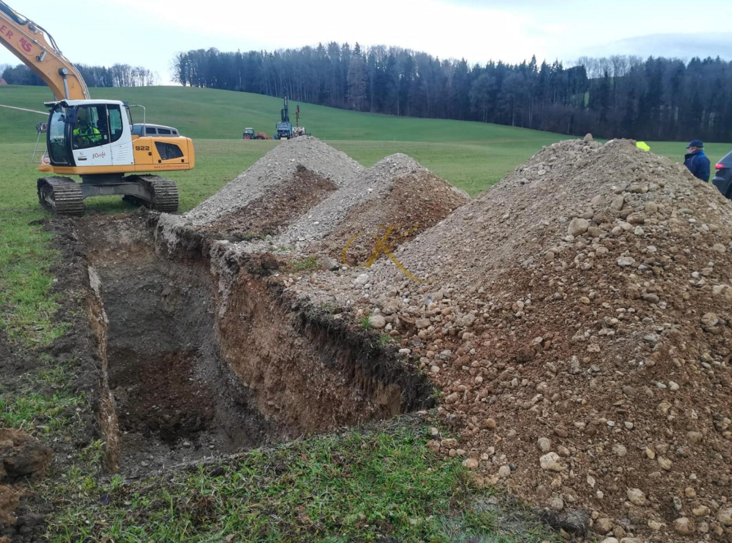
The Philippbach flowing north and the Teufelsbach flowing south both drain into the Steyr east of the project area. The Steyr river is approximately 33-35 meters lower than the project area, allowing for a mining depth of more than 30 meters. According to a geophysical measurement, groundwater is likely present here.
Based on the geophysical measurement, mining deeper than 30 meters appears possible, with groundwater probably present at this depth.
The volume of the gravel-sand body is estimated to be around 0.8 to 1.2 million m³ at a mining depth of 25 meters above sea level.
In summary, it can be said that this is a very secure investment with solid appreciation potential, suitable for any investment period.
3.200.000,00 €

2.660.000,00 €
1.660.000,00 €

2.000.000,00 €
Price on request
670.000,00 €
1.200.000,00 €
Price on request
Price on request
150.000,00 €